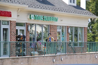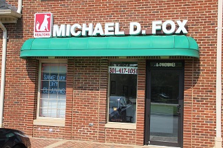

Named for William Darnes, the community was built on 2,000 acres (810 ha) of land inherited by his wife from her father Charles Gassway’s ‘Mount Pleasant’ land grant. Originally, the town was referred to as Mount Pleasant, but the name shifted in popular parlance to Darnes and eventually Darnestown. The community was located halfway between Montgomery Court House (modern-day Rockville and the mouth of the Monocacy River, and originally consisted of a tavern, a pair of blacksmiths, a wheelwright, a single store, and a log building which served as both a school and the home of several churches. The community’s greatest economic boom was during the Civil War, when providing for the needs of the armies camped around Washington, DC provided new income. Following the war, however, Darnestown slowly deflated and eventually ceased being a commercial center, with only a few of the original buildings left standing. The area has since been absorbed by suburban development, with businesses such as Fox Real Estate being located in the community.
Darnestown, Maryland is a wonderful place to live. Darnestown is fortunate to have a country setting while still being close to conveniences and downtown Washington DC. It’s like living close in, yet being in the country due to thousands of acres of parkland and green space surrounding the communities. There are many activities in and around Darnestown available to all residents. Darnestown has a Co-ed Softball team that plays in the local park, a local Boyscout troop (Troop 1094), and a swimming racquet club. Darnestown is minutes from the C&O Canal where canoeing, kayaking and biking are enjoyed. There is a large horse community that has access to wonderful trails in the area and a polo club close by. As an unincorporated area, Darnestown’s boundaries are not officially defined. Darnestown is, however, recognized by the United States Census Bureau as a Census-designated Place, and by the United States Geological Survey as a populated place. According to the United States Census Bureau, the place has a total area of 17.7 square miles (46 km2), of which, 16.6 square miles (43 km2) of it is land and 1.1 square miles (2.8 km2) of it (6.27%) is water. Approximately 5,000 citizens live in the Darnestown area today.